


How advanced search capabilities improve investigations and enhance officer safety
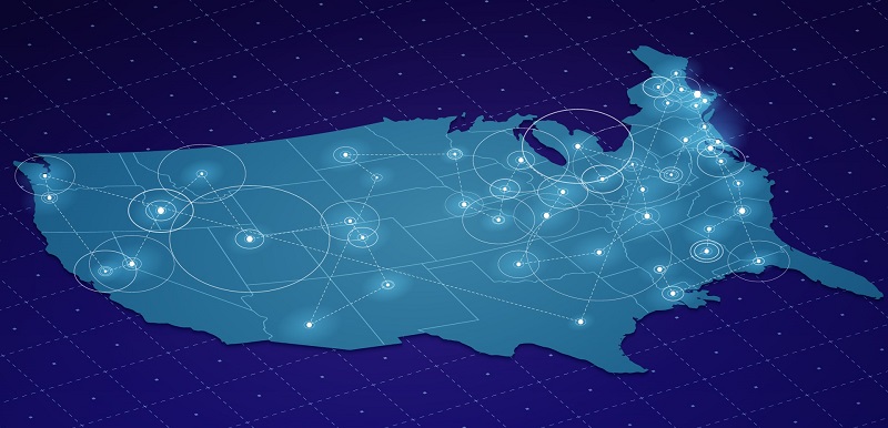
Time is of the essence when it comes to solving crimes and ensuring public safety, yet many agencies struggle with outdated or inferior databases that fail to keep up with the quickly evolving technological landscape of crime and crime fighting. As agencies look for new ways to speed investigations, IDI’s Map-Based Criminal Search is a solution with new geospatial capabilities that move policing into the modern era. This innovative technology is improving police investigations and empowering law enforcement with the crucial insights they need that were previously inaccessible. Connecting the dots with geospatial search IDI’s Map-Based Criminal Search is the answer to the limitations of traditional databases. By utilizing advanced mapping technology and spatial data analysis, law enforcement agencies can now glean even greater insights from idiCORE’s industry-leading database and real-time analytics. This approach enables investigators to uncover hidden connections between seemingly unrelated cases, suspects, and locations. With geospatial search, law enforcement officers gain the power to visualize crime hotspots, track patterns, and narrow down potential suspects more efficiently than ever before. Fast-tracking suspect identification The integration of geospatial search into law enforcement investigation practices can yield many impactful benefits including: As the demands placed on law enforcement agencies continue to grow, embracing modern investigative practices becomes paramount. The future of policing lies in data-driven approaches to drive investigations forward and build safer, more secure societies—and Map-Based Criminal Search will remain at the forefront of delivering the transformative solutions needed to access comprehensive and interconnected data in real time. Learn more about IDI’s map-based criminal and vehicle search solutions―sign up for a trial today.
Traditionally, law enforcement agencies have relied on case record databases to store and retrieve information vital to solving crimes. However, the breadth and depth of these databases often fall short of the requirements necessary for swift and effective investigations. The lack of comprehensive and interconnected data poses a significant challenge, impeding the ability to connect the dots and identify crucial patterns in criminal activity.
Imagine a scenario where a series of burglaries occur within a specific neighborhood. With geospatial search, investigators can instantly map the locations of each burglary and their proximity to other criminal activities. Map-Based Criminal Search goes a step further by then enabling investigators to quickly identify and generate a proximity-based list of potential suspects based on previous arrest records and address history. This invaluable information gives law enforcement actionable insights, allowing them to allocate resources strategically and prioritize potential suspects more efficiently.